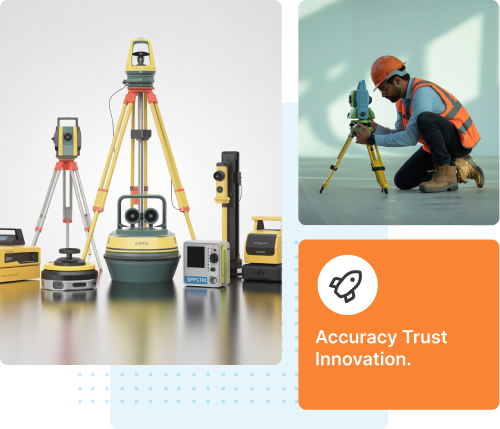
// PRECISION. MAPPING. EXCELLENCE.
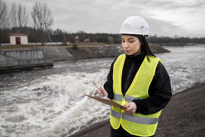
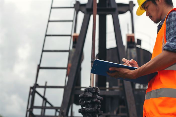
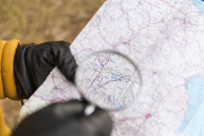
We deliver precise surveying and geospatial solutions using advanced GPS, DGPS, and GIS technologies for accurate, reliable results across every terrain.
Modern Tech: High-precision GPS, DGPS & GIS tools.
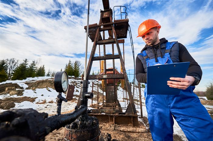
Expert Team: Skilled in land, marine & infrastructure surveys.
We provide a comprehensive range of land, marine, and infrastructure surveying
solutions, designed
to
deliver accuracy, reliability, and efficiency for every project.
We deliver detailed surveys of both interiors and exteriors, providing accurate dimensions and conditions for renovation, construction, and documentation.
Our team supports bridge projects with precise layout, alignment, and monitoring surveys to ensure safe and efficient construction.
Using advanced equipment, we measure underwater depths and terrain, providing accurate data for ports, harbors, and marine projects.
Our team ensures accurate positioning of barges during operations, minimizing risks and improving efficiency.
Our contour mapping helps in identifying elevation levels and slopes, ensuring accurate planning for land development and infrastructure projects.
We conduct surveys for canal design, alignment, and structural evaluation to support effective water flow and irrigation projects.
Our DGPS surveys help in obtaining NOC from the Airports Authority of India, ensuring compliance with aviation requirements.
We analyze soil, rock, and groundwater conditions to ensure safe and efficient foundation and infrastructure design..
Our GPS-based services provide highly accurate positioning and mapping solutions for a wide range of projects.
We transform spatial data into actionable insights, offering digital maps and analyses that support decision-making and planning.
We map and monitor water bodies to help in managing capacity, planning maintenance, and ensuring sustainability.
Supporting offshore infrastructure, we deliver high-accuracy surveys to ensure safe, efficient, and timely construction.
We provide precise guidance for the placement of foundation piles in both marine and land-based projects.
We provide detailed alignment, gradient, and level surveys, helping in the planning and execution of transportation infrastructure projects.
Our surveys assist in selecting and profiling optimal routes for transmission lines, ensuring safety, efficiency, and cost-effectiveness.
We capture and map the natural and man-made features of a site with high precision, providing essential data for planning and design.